
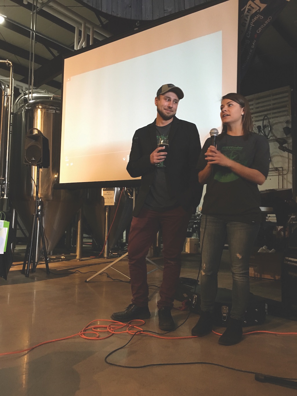
 and Graeme Saukko-Sved (left) co-founders of WAYfinder at the local launch")

 and Graeme Saukko-Sved (left) co-founders of WAYfinder at the local launch")
It’s a fascinating local success story that reads like it could have come straight from an episode of Dragon’s Den – two local Confederation College forestry students discovered a need and developed a solution to address it.
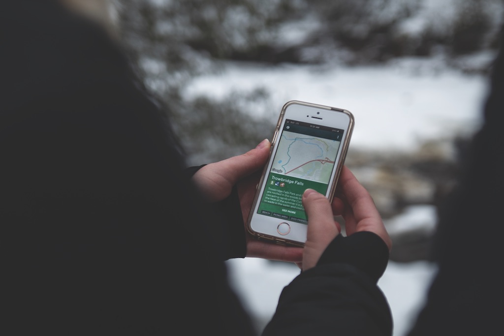
Katherine Couzelis and Graeme Saukko-Sved have launched a must use app for local trail enthusiasts called WAYfinder.
“My sister got lost on a complex trail network until someone on horseback guided her back safely and gave her a trail map. This gave me the idea for integrating our area trail network information into an easy to use app”, said Couzelis.
With most trails devoid of internet service, hikers are encouraged to download the trail map they plan to discover in advance and save it on their smartphones. The trail map will appear on their phone for referencing even when out of cell range.
“It’s amazing that nobody thought of this before, it’s a simple idea but very important since many of the trail maps were either dated or incomplete with very little focus on our local trail network”, said Couzelis.
The app took over 2 years to develop with assistance from the NWO Innovation Centre and numerous mentors and organizations that supported their idea.
“We plan to keep enhancing the app and making it better – this has been an amazing learning experience”, admits Couzelis.
For more information or to download the app, go to www.wayfindertrails.com
